 ConciseTravel
The Wainwright Context
Alfred Wainwright wrote seven guidebooks covering 214 fells across the Lake District, published between 1955 and 1966. He called them "Wainwrights," and fell walking here has been structured around bagging them ever since.
You don't have to care about the list to enjoy walking here, but it's useful to know it exists: when people talk about "bagging Wainwrights," they mean collecting summits the way others collect stamps, except with more mud.
The 214 fells range from gentle grassy hills accessible to anyone reasonably fit to serious mountain routes requiring navigation skills and proper equipment. Here's how the main options break down.
For Beginners: Views Without the Suffering
Catbells (451m)
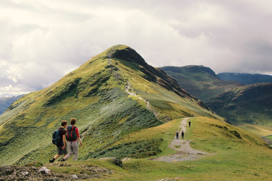
Near Keswick, above Derwentwater. The most popular short fell walk in the Lakes for good reason — the route is clear, the summit is achievable in an hour or so, and the views down to Derwentwater are the classic Lake District image. Families complete this regularly, including children and older visitors.
The main challenge is the exposed ridge near the top which requires some hands-and-feet scrambling. Not difficult, but worth knowing about if you're not comfortable with exposure.
Access from Hawse End near Keswick (Keswick Launch stops nearby).
Orrest Head (238m)
Above Windermere town. Short, gentle, and the view from the top is disproportionately good — the full length of Windermere spread out below you, with the southern fells beyond. A good choice for a first fell walk or an easy leg-stretcher.
Tarn Hows Circular
Not a fell walk in the traditional sense, but the circuit of this beautiful tarn through woods and open moorland is around 4 km and gives you a genuine sense of the landscape without serious climbing.
For Intermediate Walkers: Proper Days Out
Helvellyn via Striding Edge (950m)
Helvellyn is the third highest mountain in England and the most popular serious walk in the Lakes. The classic route via Striding Edge — a dramatic narrow ridge with steep drops on both sides — is one of the finest mountain experiences in England.
Striding Edge requires confidence on exposed terrain. You're not roped up, you're scrambling along a rocky ridge with significant drops. In good conditions with dry rock, it's exhilarating and manageable for fit, confident walkers. In wet or icy conditions, it's genuinely dangerous.
Allow a full day. Start from Glenridding on Ullswater.
Old Man of Coniston (803m)
A straightforward approach from Coniston village. The summit has views over Coniston Water and south toward Morecambe Bay. Popular but not overcrowded, and the route is well-marked. A good choice if you want a proper mountain day without the intensity of Helvellyn's ridge.
Blencathra (868m)
Also known as Saddleback. A magnificent mountain above Keswick, often overlooked because Skiddaw is next door. The Sharp Edge route is comparable to Striding Edge — exposed, exciting, requires care. The easier routes offer a good mountain experience without the technical sections.
For Experienced Walkers: England's High Points
Scafell Pike (978m)
England's highest mountain. The most common approach is from Wasdale Head — a serious walk of around 8-9 km return with 900m of ascent. The terrain is rocky and boggy in places, the weather on the summit is frequently severe even when the valleys are pleasant, and navigation in poor visibility requires map and compass skills.
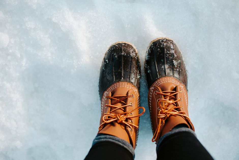
People underestimate Scafell Pike. It's not a technical climb, but it's a genuine mountain in mountain conditions. Every year people attempt it in trainers and jeans and have to be rescued. Proper walking boots, waterproofs, and navigation tools are not optional.
That said, on a clear day with the right preparation, reaching the summit cairn is a genuine achievement.
What to Carry on Any Fell Walk
At minimum, regardless of the walk:
- Waterproof jacket (not a fashion one — a proper one)
- Extra layer (temperature drops quickly as you gain height)
- Map and compass (phone GPS is useful but not reliable in remote areas)
- Water and food
- Charged phone
- First aid basics
For anything above the lower fells: add navigation skills and let someone know your route and expected return time.
A Note on the Mountain Weather
The Lake District weather forecast is not the same as the valley forecast. The Mountain Weather Information Service (MWIS) provides fell-specific forecasts. Check it before any serious walk — what looks like a clear day in Keswick can be a whiteout on Helvellyn.
The ConciseTravel Lake District guide covers specific route details, start points, and timing for the main fell walks so you can plan your mountain days properly.